
Zimbabwe at a glance

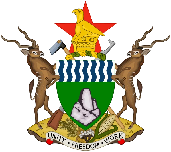
Flag and coat of arms – motto: “Unity, Freedom, Work”
Official name: Republic of Zimbabwe
Form of government: presidential republic
President: Emmerson Mnangagwa (ZANU-PF)
Population: 16,970,714 (2024)
Around 70% belong to the Shona, around 13% to the Ndebele and 6% to the Chewa. The remaining 11% of Zimbabwe’s population is made up of other African groups (Tonga, Hlengwe, Sotho and Venda) and small numbers of white and Asian Zimbabweans.
Population density: 44 inhabitants per km²
Urban population: 35%
Population under 15: 41.6%
Administrative units: 55 districts in eight provinces
(Mashonaland East, Mashonaland Central, Mashonaland West, Midlands, Matabeleland North, Matabeleland South, Masvingo, Manicaland)
National holiday: 18 April (independence on 18 April 1980)
GDP per capita (purchasing power parity): US$2,603
Currency: ZiG (Zimbabwe Gold)
Economic sectors: agriculture (sugar, cotton, meat), mining (gold, lithium), steel industry, tourism
Most widely spoken languages: English, Shona and Ndebele
Illiteracy rate: approx. 10%
Religion: 85% Christian, plus followers of traditional religions, Muslims and Jews
Area: 390,757 km2
Capital: Harare
Largest cities (by population): Harare, Bulawayo, Chitungwiza, Mutare
Geography: landlocked country in the south of the African continent;
The country borders South Africa to the south, Mozambique to the east, Botswana to the west and Zambia to the north; the whole country is covered by dry savannah
Climate: tropical with subtropical conditions, with humid, sometimes hot and sultry summers (over 35 °C) and dry winters with pleasant warmth (around 25 °C). The rainy season lasts from November to March, when over 90% of the annual rainfall occurs
Landmarks: Great Zimbabwe, Victoria Falls
The largest cities are the capital Harare (formerly Salisbury), with around 1.5 million inhabitants,
Bulawayo in the south with 667,000 inhabitants,
Chitungwiza with around 370,000 inhabitants
and Mutare in the far east with around 225,000 inhabitants.
Geographical location
An inland plateau in southern Africa, the country borders Zambia to the north (with the Zambezi as the border river), Mozambique to the north-east, east and south-east, the Republic of South Africa to the south (with the Limpopo as the border river) and Botswana to the south-west and west. The country covers an area of 390,757 km², making Zimbabwe around 10 per cent larger than Germany.
Zimbabwe is one of the most scenic countries on earth.
Besides nature reserves rich in wildlife,
the impressive Victoria Falls
and the ruins of Great Zimbabwe, a medieval city, are among the main tourist destinations.